 An
official website of the United States government.
Here's how you know we're official.
An
official website of the United States government.
Here's how you know we're official.
An
official website of the United States government.
Here's how you know we're official.
An
official website of the United States government.
Here's how you know we're official.

Office of
Coast
Survey
This effort aims to enhance current NOAA's coastal modelling capabilities to include multi-physics interaction through Earth System Model Coupling best practices. Several NOAA wide efforts are supporting Earth System Model Coupling with a focus on nearshore and coastal environment such as COASTAL Act Program and NOAA Water Initiative. NOAA Office of Coast Survey in coordination with other NOAA and NOS line offices will continue developing and testing new modelling paradigms to support NOAA's mission in improving the safety and efficiency of commercial shipping; proactively preventing and mitigating and responding to natural hazards.
Our current concentration is on enabling flexible model coupling to address compound inland-coastal flooding and to improve coastal ocean operational models results by coupling to inland freshwater hydrology. The coupled system is being developed based on ESMF/NUOPC technology under a common modeling framework called the NOAA Environmental Modeling System (NEMS). The system would provide dynamic interaction between the surface wave, ocean circulation and inland hydrology modeling components.
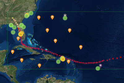
The Hurricane Explorer is a web based GIS tool to browse hurricane tracks, atmospheric information, waves, and storm surge model results and observations in an interactive and flexible environment.
Contact: Saeed.Moghimi@noaa.gov
Disclaimer: All model configurations and results are pre-decisional and for official use only.
Coastal Ocean Models